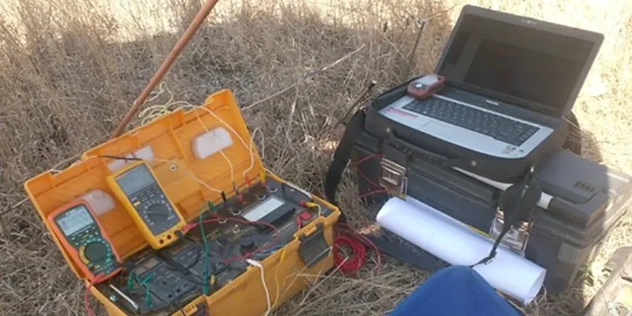
BS 5930:2015+A1:2020 frames the investigation sequence, and across Reading the geophysical stage often starts with a vertical electrical sounding. The town sits on an interbedded succession of London Clay, Lambeth Group sands, and Quaternary gravels of the River Kennet and Thames terraces. A resistivity contrast of 30 ohm-m against 120 ohm-m between saturated gravel and stiff clay is routinely mapped here, giving the VES method a direct physical target. We deploy a Schlumberger array with AB/2 expansions to 150 m when the site geometry permits, matching the depth of investigation needed for piled foundations in the clay basin. In built-up areas such as the Oxford Road corridor or near Reading station, electrode spreads are adapted to avoid buried services, and the CPT test provides a direct mechanical check on the geophysical interpretation where access allows.
Mapping the 30 ohm-m boundary between Kennet gravel and London Clay is often the single most useful resistivity horizon for foundation design in Reading.
Local geotechnical context
A common sight in Reading is a resistivity line that drifts downward by 20 ohm-m over the first 15 m of spread, and the culprit is almost always a buried cast-iron water main running parallel to the cable. The induced polarisation effect on old ferrous pipes generates a coupling that no stacking routine removes. We flag this early by cross-referencing Thames Water asset plans before any electrode is hammered in. Another local issue is the low-resistivity cap of made ground saturated with road salt along the A33 relief road; it masks the top of the natural gravel unless a high-density dipole-dipole segment is added. On the floodplain south of the M4, seasonal saturation changes the bulk resistivity of the upper 3 m by a factor of two, so a VES run in February and one in September can look like two different sites. Timing the survey to match the design condition, and noting the groundwater level on the day, prevents an over-optimistic bearing stratum interpretation.
Common questions
How deep can a VES sounding reach in the London Clay around Reading?
With an AB/2 expansion to 150 m, the depth of investigation typically reaches 25 to 30 m in the stiff London Clay, assuming the clay is saturated and has a resistivity below 40 ohm-m. Shallower targets within the gravel are resolved with AB/2 between 30 and 60 m.
What does an electrical resistivity survey cost for a single-building plot in Reading?
For a standard residential or light commercial plot, a VES plus a short 2D line usually falls between £540 and £770, depending on access constraints and the number of soundings required. A site visit confirms the final figure.
Can resistivity tell the difference between Thames gravel and Lambeth Group sand?
Not uniquely by resistivity alone. Both can sit in the 80 to 150 ohm-m range when dry. The distinction becomes clearer when the gravel is water-saturated and its resistivity drops below 50 ohm-m, while the sand may remain higher. A borehole log is the definitive tie.
How do you handle interference from underground utilities during a resistivity survey?
We check statutory utility records before layout, avoid running cables parallel to known metallic pipes, use insulated electrodes, and increase the stacking count near suspected services. If a buried pipe still distorts the data, that segment is excluded from the inversion and noted in the report.